Bethlehem property guide
Bethlehem, Free State: Regional hub and gateway to the eastern highlands
Introduction
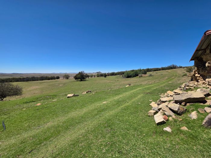
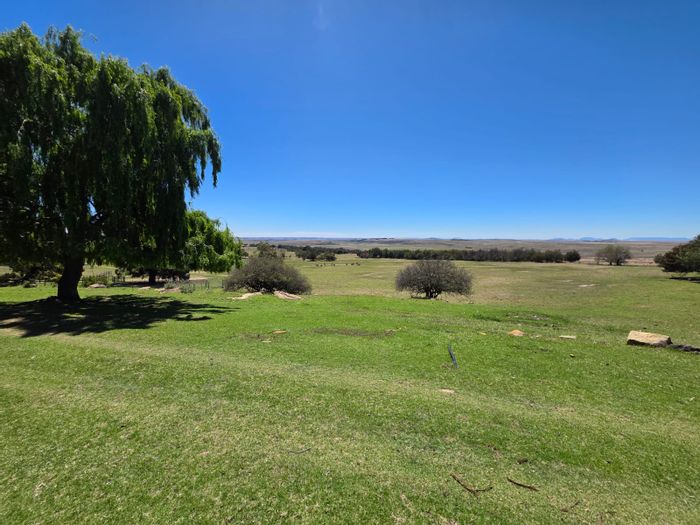
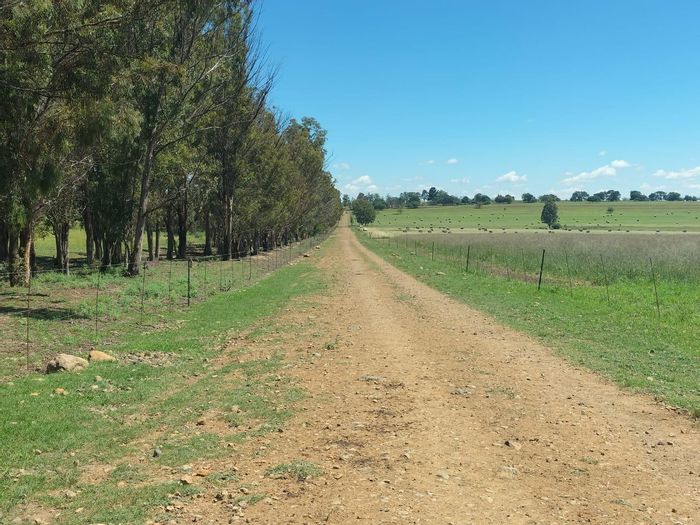
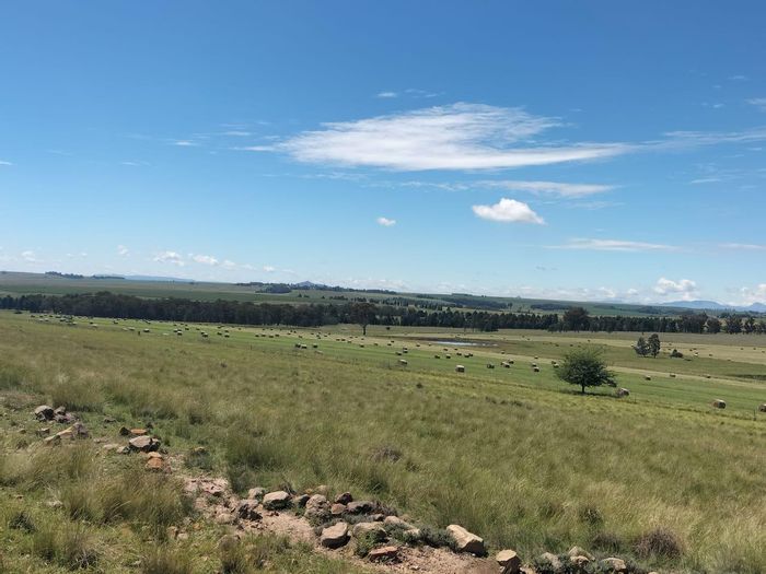
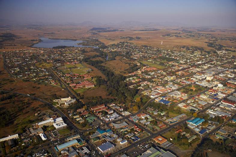
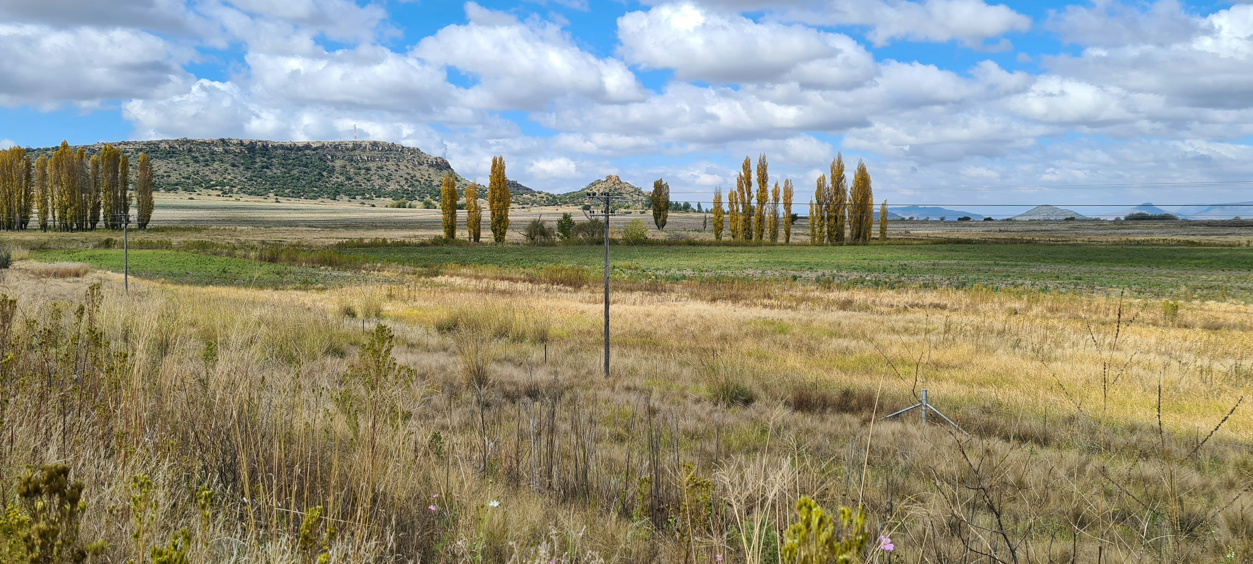
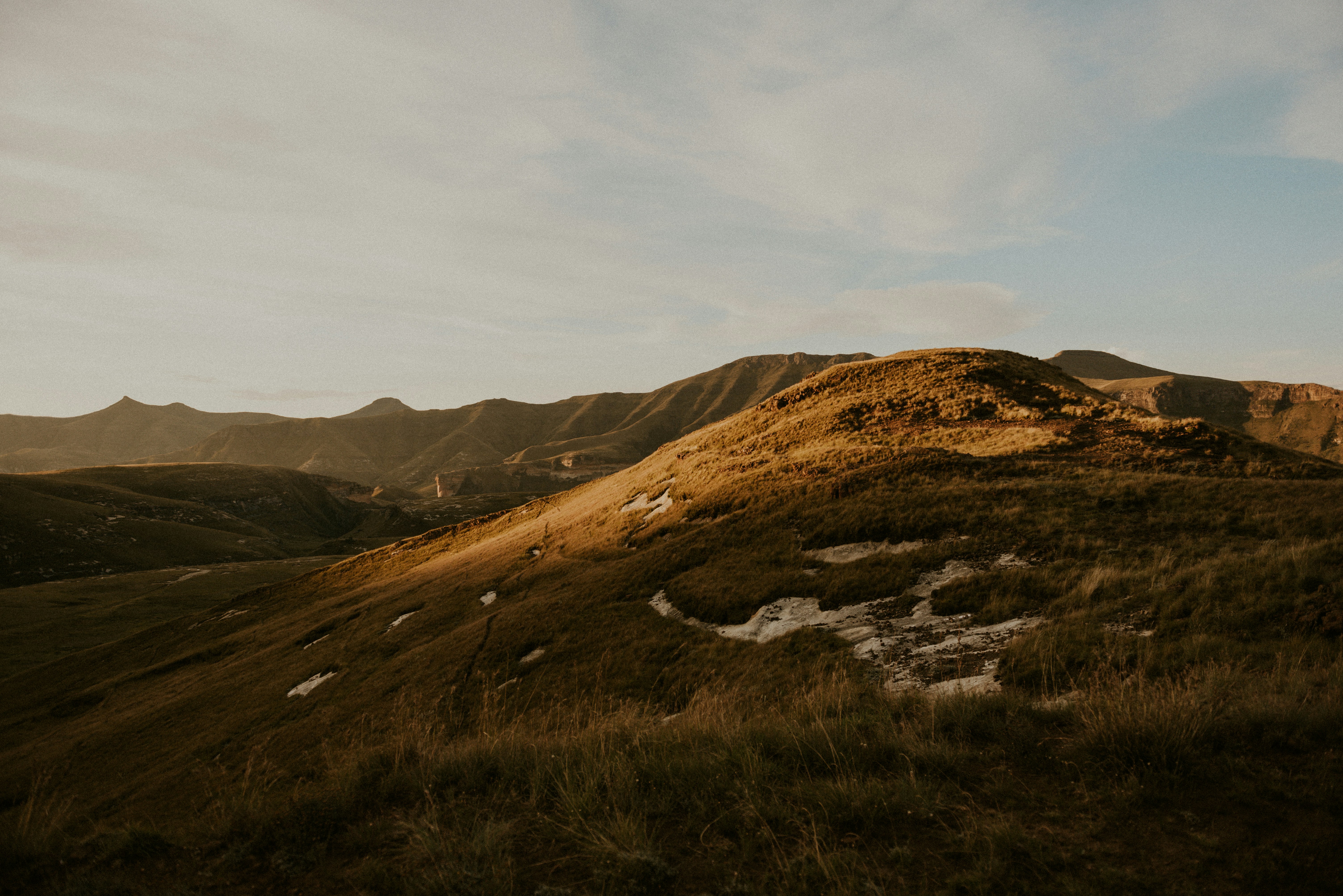
Bethlehem, Free State, is a well-established regional service centre in the Dihlabeng Local Municipality. Set on the highveld between the Maluti foothills and the Drakensberg, the town blends small-town living with solid infrastructure, making it attractive to families, professionals, and investors. With key schools, hospitals, shopping, and access to outdoor attractions like Clarens and Golden Gate Highlands National Park, Bethlehem offers a practical base for those seeking value and an active, nature-oriented lifestyle.
Location and Accessibility
Bethlehem sits on the N5 national route linking the N1 at Winburg to the N3 at Harrismith, positioning the town conveniently between Bloemfontein, Johannesburg, and the KwaZulu-Natal coast. The R26 connects Bethlehem to Reitz, Frankfort, and Ficksburg, while the R712 leads to Clarens, Golden Gate Highlands National Park, and Phuthaditjhaba. Local and intercity buses and minibus taxis operate along these corridors. Bethlehem Airport caters for general aviation, with scheduled flights available at Bram Fischer International Airport in Bloemfontein and O.R. Tambo International Airport in Johannesburg via the national road network.
Lifestyle and Amenities
As the seat of Dihlabeng, Bethlehem serves the broader eastern Free State with retail, education, and healthcare. Residents have access to multiple shopping centres, including Dihlabeng Mall and Bethlehem Mall, as well as a range of supermarkets and independent retailers. Schooling options include established primary and secondary schools such as Hoërskool Witteberg and Bethlehem Voortrekker, while Maluti TVET College offers post‑school education and training; the University of the Free State’s QwaQwa Campus is within driving distance. Healthcare is anchored by Mediclinic Hoogland and Dihlabeng Regional Hospital. Leisure options span the Frontier Inn and Casino, Bethlehem Golf Club, and Loch Athlone for boating and birding, with the riverside Pretorius Kloof Nature Reserve providing green space in town. Day trips to Clarens offer galleries, dining, and adventure activities, with hiking and wildlife viewing nearby in Golden Gate.
Upcoming Events
Bethlehem hosts the long-running Eastern Free State Agricultural Show, an annual fixture featuring livestock exhibitions, home industries, and family entertainment that draws visitors from across the region. The broader area also benefits from marquee events in nearby towns, such as the Clarens Craft Beer Festival in late summer and the Ficksburg Cherry Festival in spring. These events add seasonal vibrancy, support tourism-related enterprises, and provide residents with a variety of cultural and outdoor experiences within short driving distances of Bethlehem, Free State.
Property Market Overview
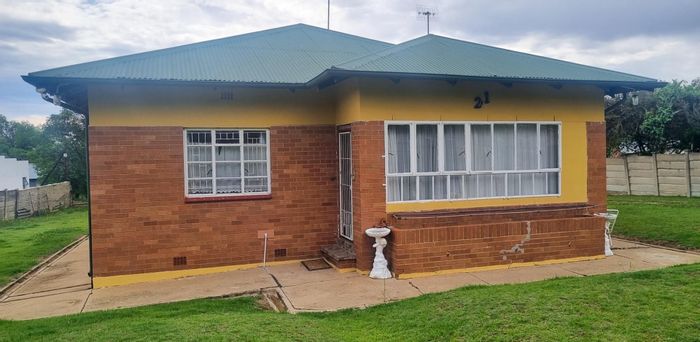
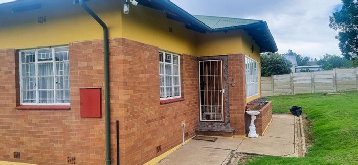
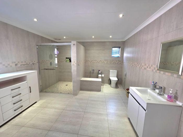
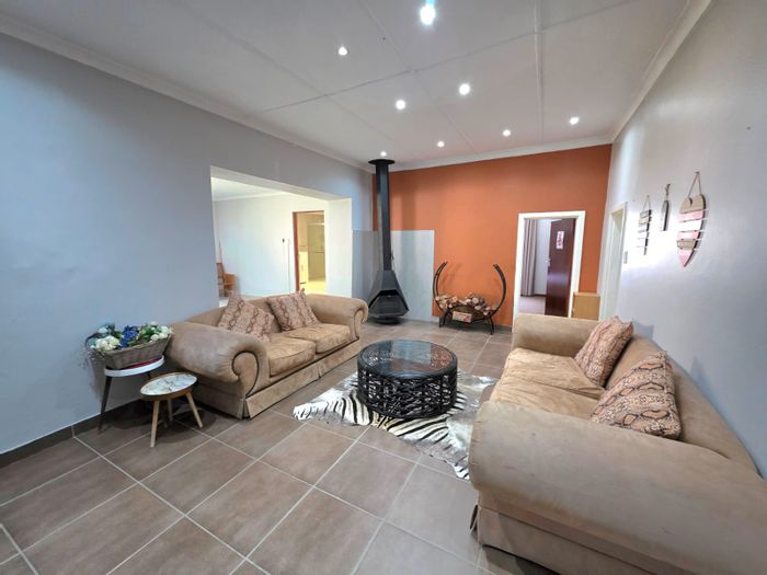
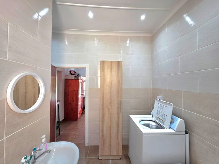
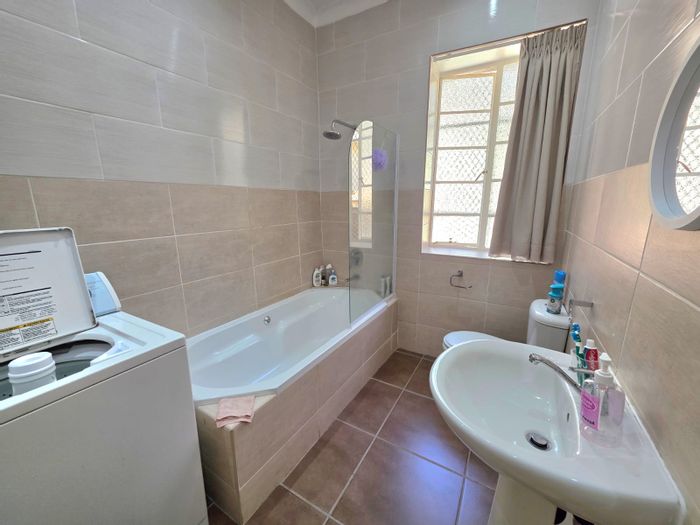
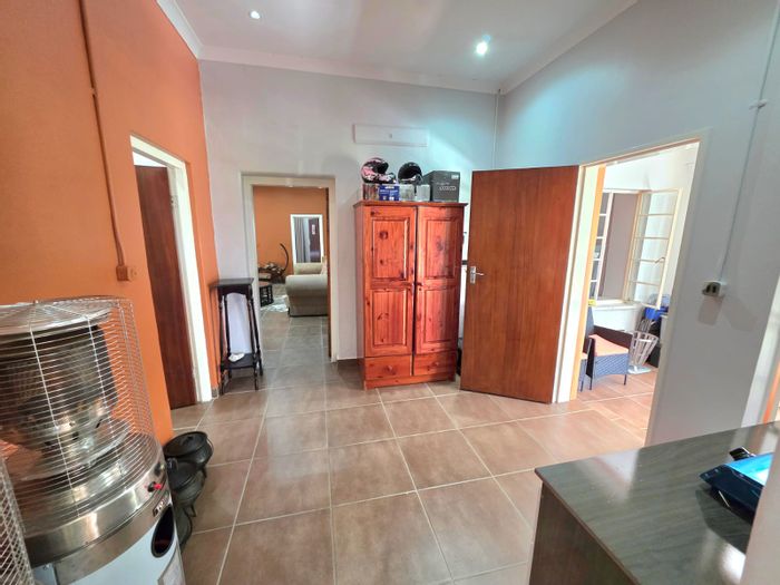
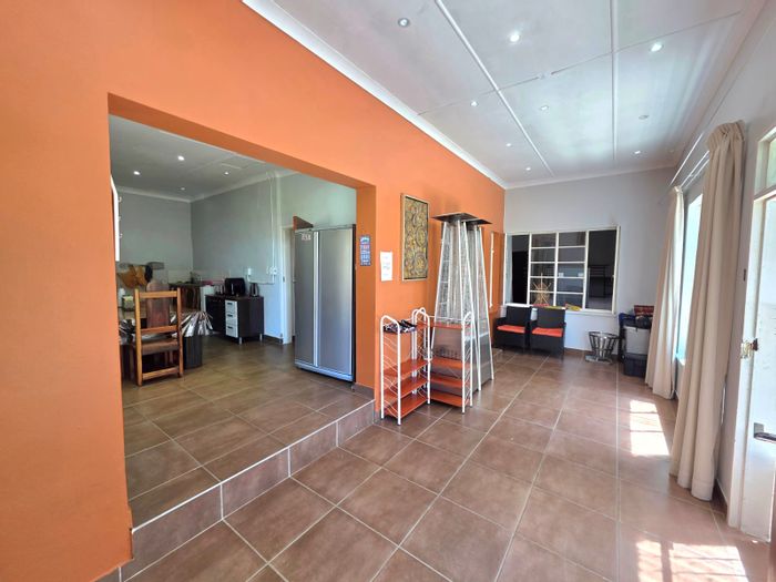
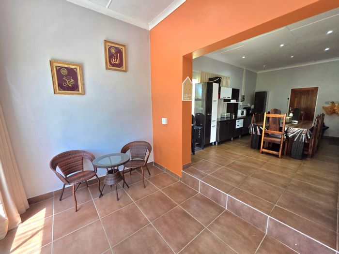
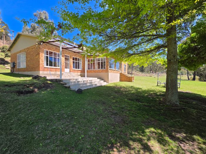
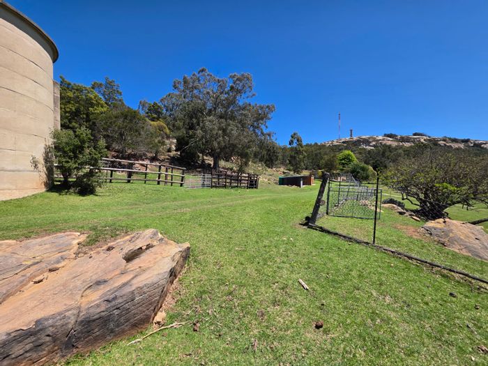
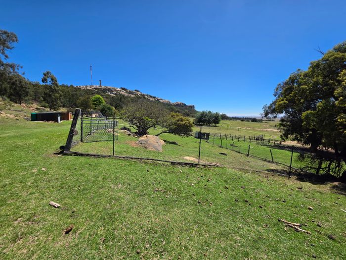
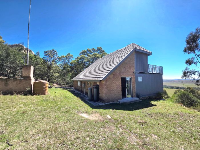
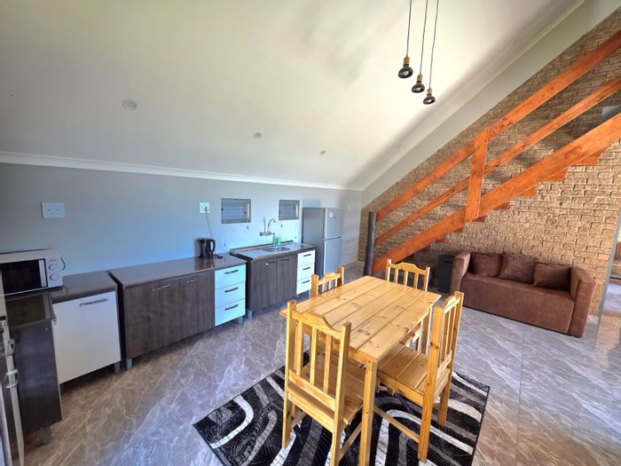
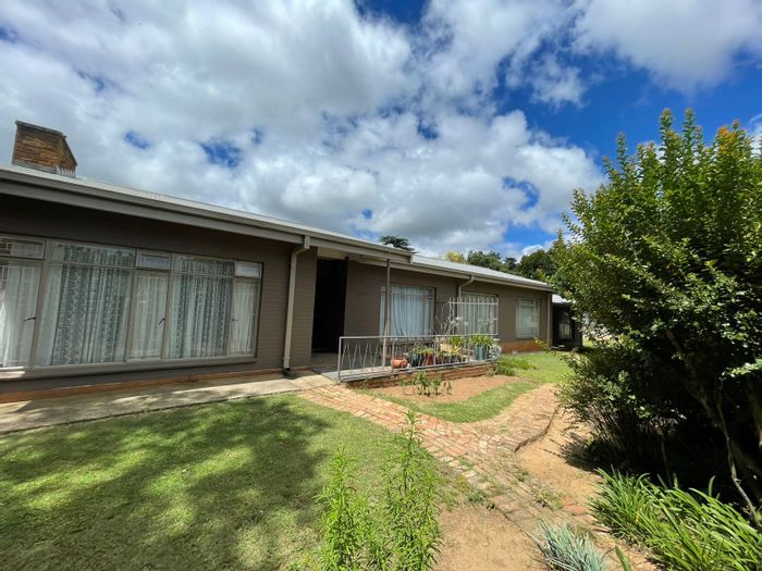
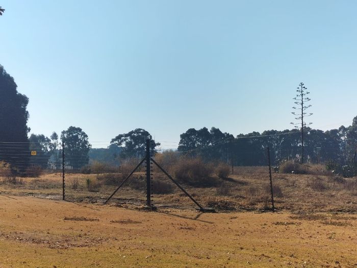
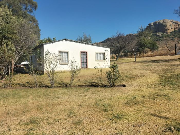
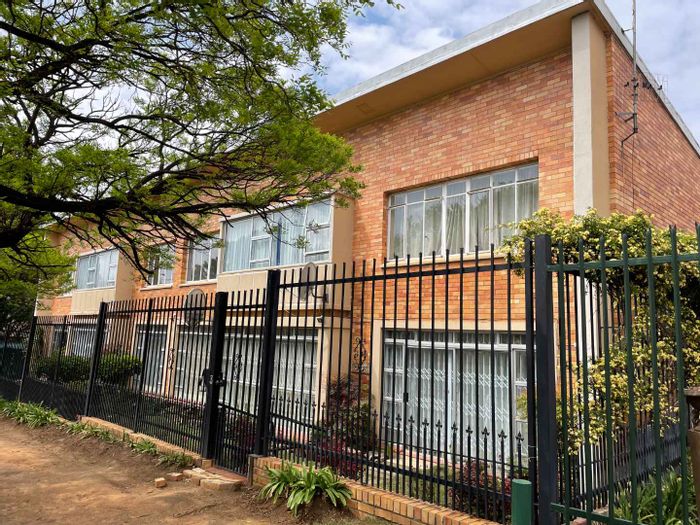
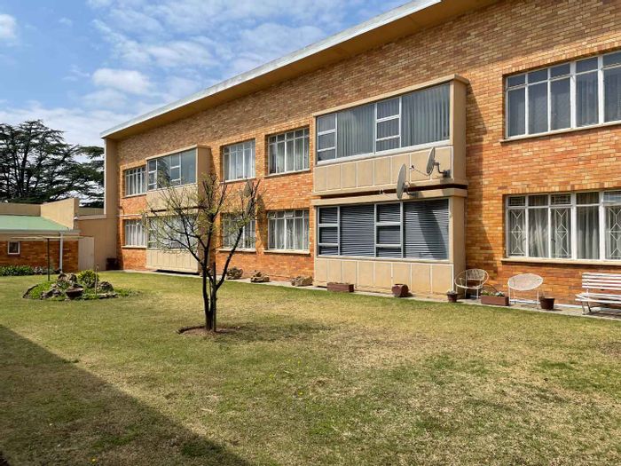
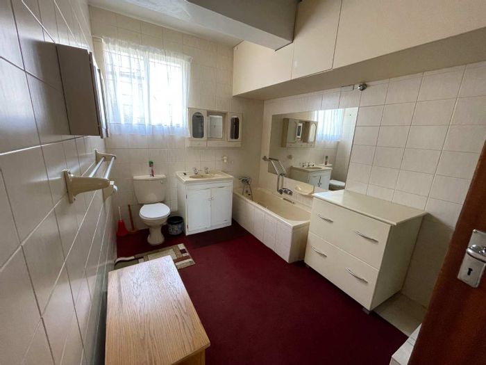
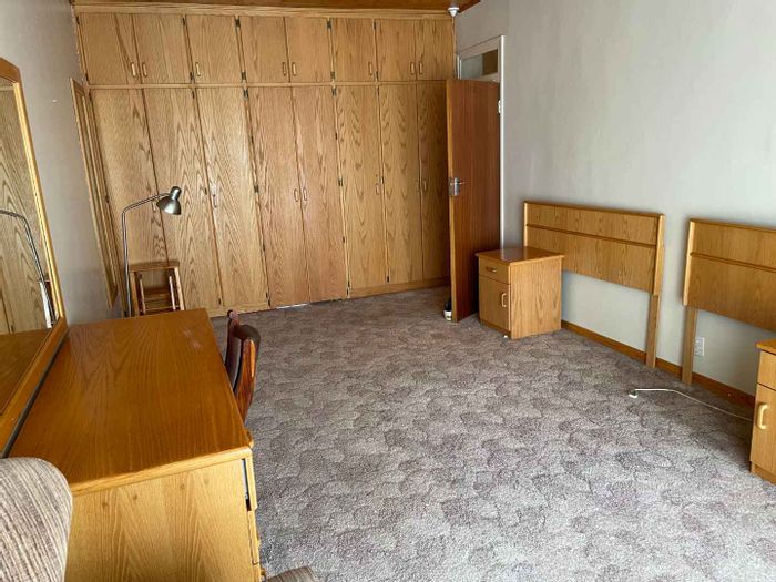
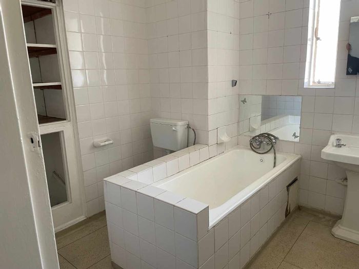
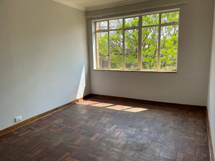
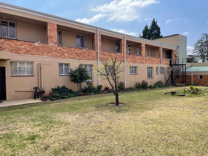
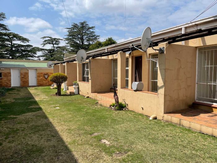
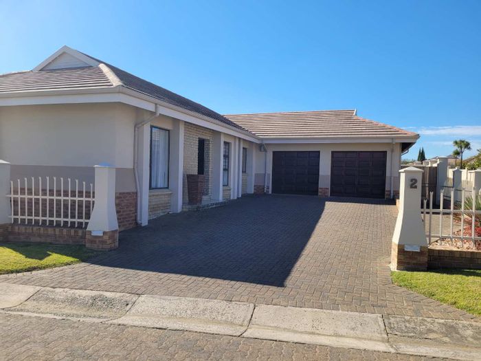
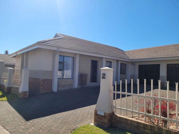
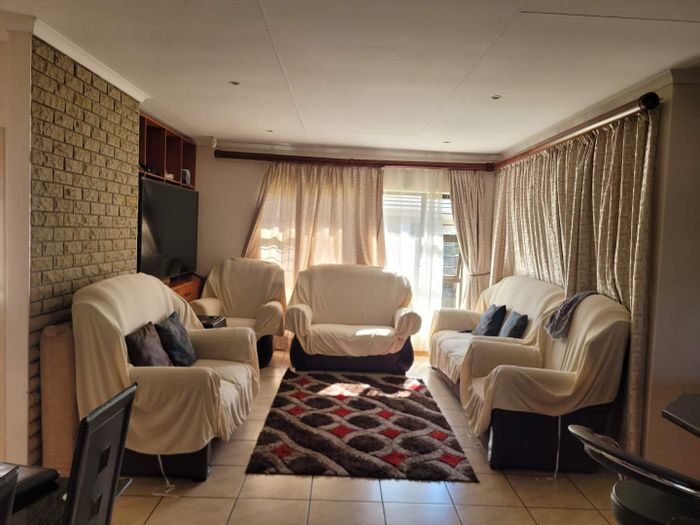
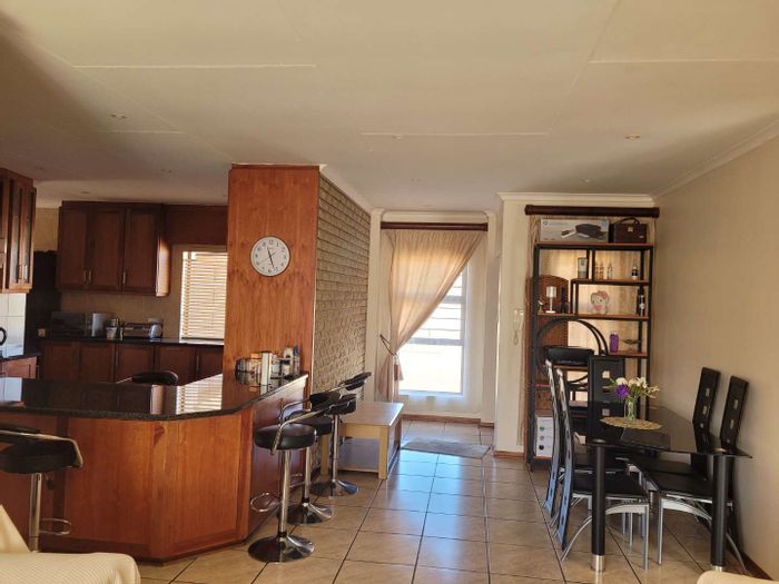
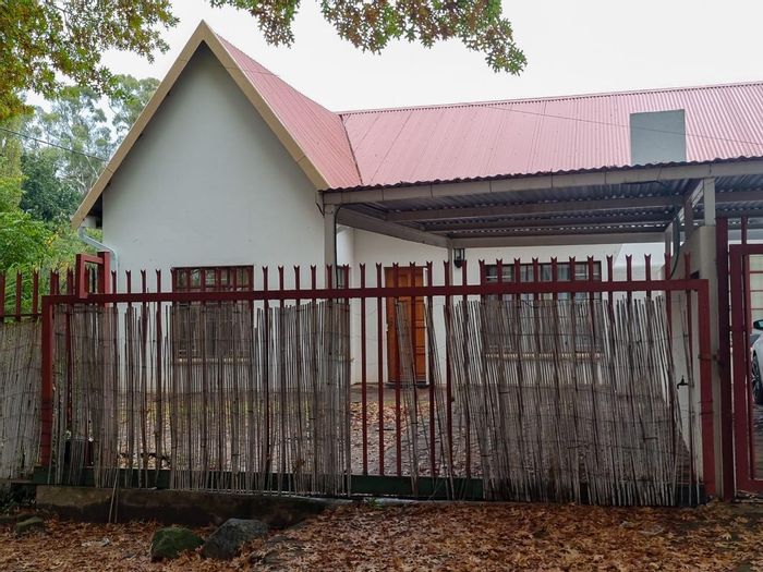
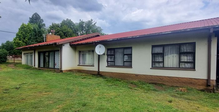
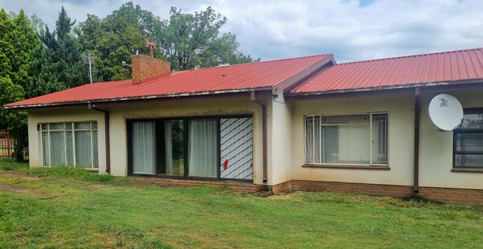
Bethlehem, Free State, offers a mix of freestanding houses in established suburbs, sectional-title townhouses close to amenities, and security complexes on the town’s edge. Smallholdings and lifestyle properties are found on the peri-urban fringe, appealing to buyers seeking space while remaining near services. Family buyers value proximity to schools and healthcare, while professionals in retail, education, and medical sectors drive steady rental demand. Investors typically look to townhouses and apartments for consistent occupancy, supported by the town’s role as a regional administrative and commercial centre and its access to tourism attractions.
Conclusion
With reliable services, an accessible position on key national routes, and proximity to Clarens and Golden Gate Highlands National Park, Bethlehem, Free State, suits buyers seeking practical value and an outdoor-oriented lifestyle. Explore current homes, townhouses, and investment opportunities in Bethlehem on MyProperty.co.za to find a property that matches your needs.
view all Bethlehem properties to rent